
Thank you for supporting this site ❤️
Make a donation
Make a donation
Starkey Hill topographic map
Click on the map to display elevation.
Thank you for supporting this site ❤️
Make a donation
Make a donation
About this map
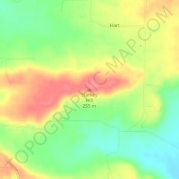
Name: Starkey Hill topographic map, elevation, terrain.
Location: Starkey Hill, White County, Arkansas, United States (35.28892 -92.05659 35.28902 -92.05649)
Average elevation: 215 m
Minimum elevation: 177 m
Maximum elevation: 254 m
Thank you for supporting this site ❤️
Make a donation
Make a donation
Other topographic maps
Click on a map to view its topography, its elevation and its terrain.