
Thank you for supporting this site ❤️
Make a donation
Make a donation
Karıt topographic map
Click on the map to display elevation.
Thank you for supporting this site ❤️
Make a donation
Make a donation
About this map
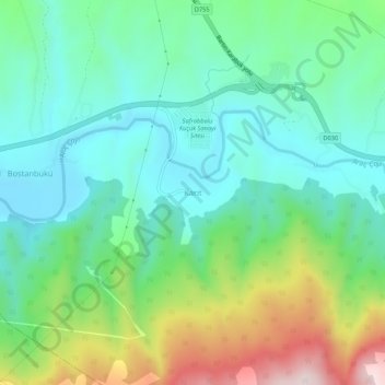
Name: Karıt topographic map, elevation, terrain.
Location: Karıt, Safranbolu, Karabük, Black Sea Region, 78050, Turkey (41.19325 32.68857 41.23325 32.72857)
Average elevation: 430 m
Minimum elevation: 282 m
Maximum elevation: 793 m
Thank you for supporting this site ❤️
Make a donation
Make a donation