
Barberton topographic map
Interactive map
Click on the map to display elevation.
About this map
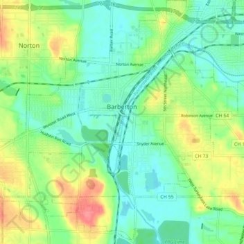
Name: Barberton topographic map, elevation, terrain.
Average elevation: 312 m
Minimum elevation: 287 m
Maximum elevation: 359 m
Other topographic maps
Click on a map to view its topography, its elevation and its terrain.
Twinsburg
Vereinigte Staaten von Amerika > Ohio > Summit County
Twinsburg, Summit County, Ohio, 44087, Vereinigte Staaten von Amerika
Average elevation: 321 m