
Schaller topographic map
Interactive map
Click on the map to display elevation.
About this map
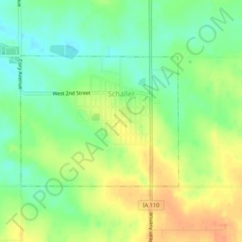
Name: Schaller topographic map, elevation, terrain.
Location: Schaller, Sac County, Iowa, Vereinigte Staaten von Amerika (42.48926 -95.30865 42.50387 -95.28467)
Average elevation: 433 m
Minimum elevation: 413 m
Maximum elevation: 455 m