
Salmonier Nature Park topographic map
Interactive map
Click on the map to display elevation.
About this map
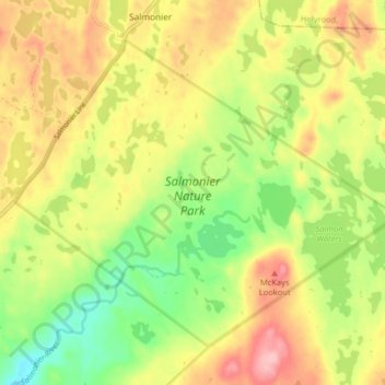
Name: Salmonier Nature Park topographic map, elevation, terrain.
Average elevation: 126 m
Minimum elevation: 52 m
Maximum elevation: 203 m
Other topographic maps
Click on a map to view its topography, its elevation and its terrain.
Dawes Pond
Canada > Newfoundland and Labrador > Salmonier
Dawes Pond, Deer Park Road, Salmonier, Newfoundland, Newfoundland and Labrador, Canada
Average elevation: 134 m