
Thank you for supporting this site ❤️
Make a donation
Make a donation
Monte Strega topographic map
Click on the map to display elevation.
Thank you for supporting this site ❤️
Make a donation
Make a donation
About this map
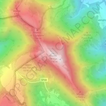
Name: Monte Strega topographic map, elevation, terrain.
Location: Monte Strega, Sassoferrato, Ancona, Marche, Italia (43.45010 12.77958 43.45020 12.77968)
Average elevation: 887 m
Minimum elevation: 507 m
Maximum elevation: 1,259 m
Thank you for supporting this site ❤️
Make a donation
Make a donation