
Thank you for supporting this site ❤️
Make a donation
Make a donation
Ouled Laalem topographic map
Click on the map to display elevation.
Thank you for supporting this site ❤️
Make a donation
Make a donation
About this map
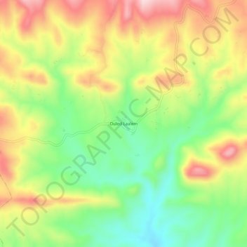
Name: Ouled Laalem topographic map, elevation, terrain.
Location: Ouled Laalem, Taguedit, Daïra Bordj Oukhris, Bouira, Algérie (35.99331 3.86425 36.03331 3.90425)
Average elevation: 973 m
Minimum elevation: 841 m
Maximum elevation: 1,123 m
Thank you for supporting this site ❤️
Make a donation
Make a donation