
.1 topographic map
Interactive map
Click on the map to display elevation.
About this map
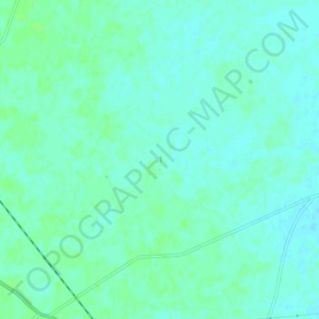
Name: .1 topographic map, elevation, terrain.
Location: .1, Kunda, Pratapgarh, Uttar Pradesh, 229408, India (25.80600 81.37462 25.84600 81.41462)
Average elevation: 106 m
Minimum elevation: 102 m
Maximum elevation: 110 m
Other topographic maps
Click on a map to view its topography, its elevation and its terrain.
Raniganj
India > Uttar Pradesh > Pratāpgarh
Raniganj, Pratapgarh, Uttar Pradesh, India
Average elevation: 94 m
Lalganj
India > Uttar Pradesh > Pratāpgarh
Lalganj, Pratapgarh, Uttar Pradesh, India
Average elevation: 103 m
Pratāpgarh
India > Uttar Pradesh > Pratāpgarh
Pratāpgarh, Pratapgarh, Uttar Pradesh, India
Average elevation: 103 m