
Comté de Västernorrland topographic map
Interactive map
Click on the map to display elevation.
About this map
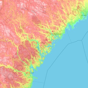
Name: Comté de Västernorrland topographic map, elevation, terrain.
Location: Comté de Västernorrland, Norrland, Suède (62.08657 14.78033 64.02743 19.60978)
Average elevation: 162 m
Minimum elevation: -3 m
Maximum elevation: 641 m
Other topographic maps
Click on a map to view its topography, its elevation and its terrain.
Bråtan
Suède > Comté de Västernorrland > Nora distrikt
Bråtan, Nora distrikt, Kramfors, Ångermanland, Comté de Västernorrland, Norrland, Suède
Average elevation: 43 m