
es Grau topographic map
Interactive map
Click on the map to display elevation.
About this map
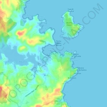
Name: es Grau topographic map, elevation, terrain.
Location: es Grau, Port-Mahon, Minorque, Îles Baléares, 07700, Espagne (39.93039 4.24964 39.97039 4.28964)
Average elevation: 12 m
Minimum elevation: -3 m
Maximum elevation: 72 m