
Hanna Lake topographic map
Interactive map
Click on the map to display elevation.
About this map
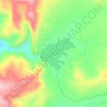
Name: Hanna Lake topographic map, elevation, terrain.
Average elevation: 1,957 m
Minimum elevation: 1,825 m
Maximum elevation: 2,121 m
Other topographic maps
Click on a map to view its topography, its elevation and its terrain.
Quetta
Pakistan > Balochistan > Quetta
Quetta, Mastung District, Balochistan, 87300, Pakistan
Average elevation: 1,968 m