
Downtown PID topographic map
Interactive map
Click on the map to display elevation.
About this map
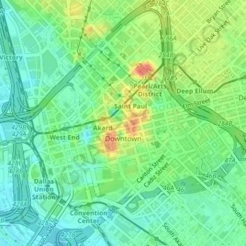
Name: Downtown PID topographic map, elevation, terrain.
Location: Downtown PID, Dallas, Dallas County, Texas, USA (32.76880 -96.81245 32.79420 -96.78260)
Average elevation: 139 m
Minimum elevation: 119 m
Maximum elevation: 173 m
Other topographic maps
Click on a map to view its topography, its elevation and its terrain.
Annie Stevens Park
Annie Stevens Park, Dallas, Dallas County, Texas, USA
Average elevation: 167 m
Twelve Hills Nature Center
Twelve Hills Nature Center, Dallas, Dallas County, Texas, USA
Average elevation: 167 m
Deep Ellum PID
Deep Ellum PID, Dallas, Dallas County, Texas, USA
Average elevation: 145 m