
Lees Creek topographic map
Interactive map
Click on the map to display elevation.
About this map
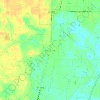
Name: Lees Creek topographic map, elevation, terrain.
Location: Lees Creek, Washington Parish, Louisiana, 70427, USA (30.72213 -89.89480 30.76213 -89.85480)
Average elevation: 31 m
Minimum elevation: 17 m
Maximum elevation: 45 m