
Großer Pyhrgas topographic map
Interactive map
Click on the map to display elevation.
About this map
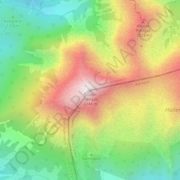
Name: Großer Pyhrgas topographic map, elevation, terrain.
Average elevation: 1,597 m
Minimum elevation: 1,078 m
Maximum elevation: 2,224 m
Other topographic maps
Click on a map to view its topography, its elevation and its terrain.
Gamsstein
Österreich > Steiermark > Bezirk Liezen > Admont
Gamsstein, Admont, Bezirk Liezen, Steiermark, 8911, Österreich
Average elevation: 1,445 m