
Bagepalli topographic map
Interactive map
Click on the map to display elevation.
About this map
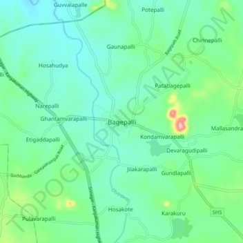
Name: Bagepalli topographic map, elevation, terrain.
Average elevation: 730 m
Minimum elevation: 685 m
Maximum elevation: 884 m
Bagepalli is located at 13°47′N 77°47′E / 13.78°N 77.79°E / 13.78; 77.79. It has an average elevation of 707 metres (2319 ft).