
Uhana topographic map
Interactive map
Click on the map to display elevation.
About this map
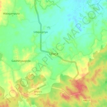
Name: Uhana topographic map, elevation, terrain.
Location: Uhana, Ampara District, Eastern Province, Sri Lanka (7.32304 81.59619 7.40304 81.67619)
Average elevation: 42 m
Minimum elevation: 20 m
Maximum elevation: 74 m
Other topographic maps
Click on a map to view its topography, its elevation and its terrain.