
Aragaz topographic map
Interactive map
Click on the map to display elevation.
About this map
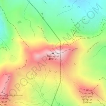
Name: Aragaz topographic map, elevation, terrain.
Location: Aragaz, Gjumri, Provinz Schirak, Armenien (40.52322 44.19338 40.52332 44.19348)
Average elevation: 3,566 m
Minimum elevation: 3,127 m
Maximum elevation: 4,073 m