
Spring Lake Township topographic map
Interactive map
Click on the map to display elevation.
About this map
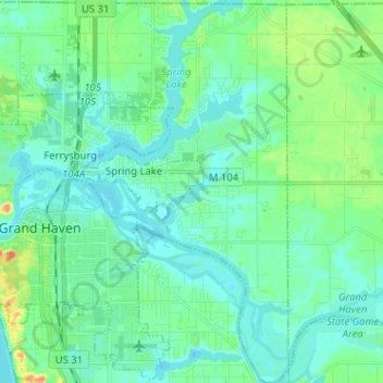
Name: Spring Lake Township topographic map, elevation, terrain.
Average elevation: 185 m
Minimum elevation: 174 m
Maximum elevation: 224 m
Other topographic maps
Click on a map to view its topography, its elevation and its terrain.
Holland Charter Township
Vereinigte Staaten von Amerika > Michigan > Ottawa County
Holland Charter Township, Ottawa County, Michigan, Vereinigte Staaten von Amerika
Average elevation: 191 m