
Jeradou topographic map
Interactive map
Click on the map to display elevation.
About this map
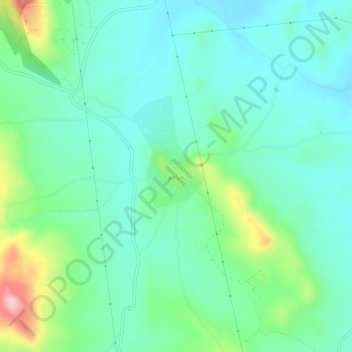
Name: Jeradou topographic map, elevation, terrain.
Location: Jeradou, Délégation Zriba, Gouvernorat Zaghouan, 1112, Tunisie (36.25092 10.30797 36.29092 10.34797)
Average elevation: 124 m
Minimum elevation: 60 m
Maximum elevation: 326 m