
Santiago Tangamandapio topographic map
Interactive map
Click on the map to display elevation.
About this map
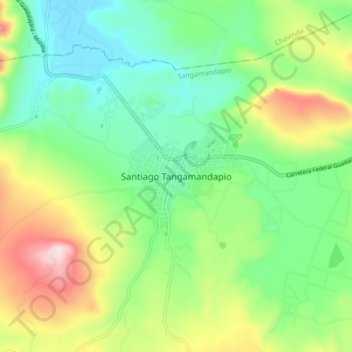
Name: Santiago Tangamandapio topographic map, elevation, terrain.
Location: Santiago Tangamandapio, Tangamandapio, Michoacán, México (19.91441 -102.47303 19.99441 -102.39303)
Average elevation: 1,757 m
Minimum elevation: 1,572 m
Maximum elevation: 2,118 m