
Rossas topographic map
Interactive map
Click on the map to display elevation.
About this map
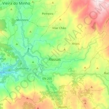
Name: Rossas topographic map, elevation, terrain.
Location: Rossas, Vieira do Minho, Braga, Nord, 4850-317, Portugal (41.54652 -8.12975 41.63185 -8.00088)
Average elevation: 582 m
Minimum elevation: 195 m
Maximum elevation: 1,233 m