
Deux-Acren topographic map
Interactive map
Click on the map to display elevation.
About this map
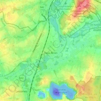
Name: Deux-Acren topographic map, elevation, terrain.
Location: Deux-Acren, Lessines, Ath, Hennegau, Wallonien, 7864, Belgien (50.71217 3.82258 50.75161 3.89908)
Average elevation: 29 m
Minimum elevation: -110 m
Maximum elevation: 77 m