
Ahrntal - Valle Aurina topographic map
Interactive map
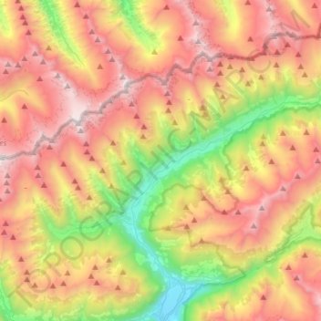
Click on the map to display elevation.
About this map
Name: Ahrntal - Valle Aurina topographic map, elevation, terrain.
Average elevation: 2,079 m
Minimum elevation: 851 m
Maximum elevation: 3,359 m