
Thank you for supporting this site ❤️
Make a donation
Make a donation
Nagla Jatni topographic map
Click on the map to display elevation.
Thank you for supporting this site ❤️
Make a donation
Make a donation
About this map
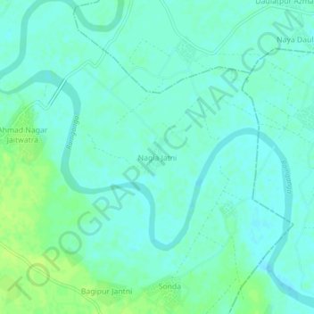
Name: Nagla Jatni topographic map, elevation, terrain.
Location: Nagla Jatni, Bilari, Moradabad District, Uttar Pradesh, India (28.68926 78.83553 28.72926 78.87553)
Average elevation: 189 m
Minimum elevation: 184 m
Maximum elevation: 196 m
Thank you for supporting this site ❤️
Make a donation
Make a donation