
แม่น้ำแควน้อย topographic map
Interactive map
Click on the map to display elevation.
About this map
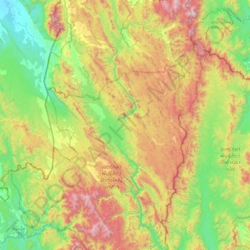
Name: แม่น้ำแควน้อย topographic map, elevation, terrain.
Location: แม่น้ำแควน้อย, จังหวัดตาก, Thaïlande (15.08055 98.80019 15.97501 98.98825)
Average elevation: 657 m
Minimum elevation: 25 m
Maximum elevation: 1,861 m