
Folsom topographic map
Click on the map to display elevation.
Folsom
Carpenter Hill in Folsom has the highest elevation in Sacramento County.
About this map
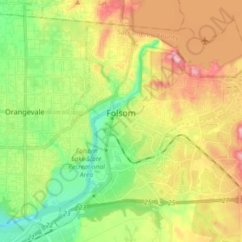
Name: Folsom topographic map, elevation, terrain.
Location: Folsom, Sacramento County, California, United States (38.63197 -121.21014 38.71736 -121.08551)
Average elevation: 92 m
Minimum elevation: 21 m
Maximum elevation: 186 m