
Polur topographic map
Interactive map
Click on the map to display elevation.
About this map
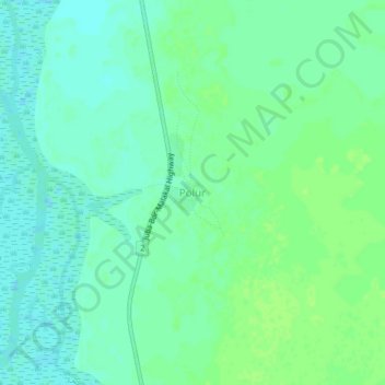
Name: Polur topographic map, elevation, terrain.
Location: Polur, Central Equatoria, South Sudan (5.49171 31.81746 5.53171 31.85746)
Average elevation: 441 m
Minimum elevation: 435 m
Maximum elevation: 446 m