
Le Rœulx topographic map
Interactive map
Click on the map to display elevation.
About this map
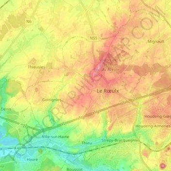
Name: Le Rœulx topographic map, elevation, terrain.
Location: Le Rœulx, Soignies, Hainaut, Wallonie, 7070, Belgique (50.46261 4.03920 50.54682 4.18627)
Average elevation: 100 m
Minimum elevation: 34 m
Maximum elevation: 168 m