
Thank you for supporting this site ❤️
Make a donation
Make a donation
Ward A topographic map
Click on the map to display elevation.
Thank you for supporting this site ❤️
Make a donation
Make a donation
About this map
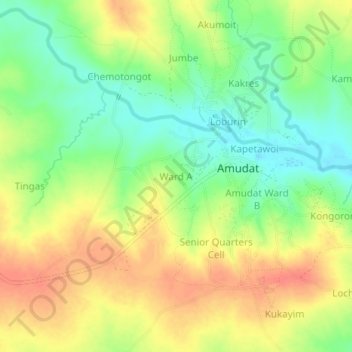
Name: Ward A topographic map, elevation, terrain.
Location: Ward A, Amudat, Northern Region, Uganda (1.93288 34.91870 1.97288 34.95870)
Average elevation: 1,251 m
Minimum elevation: 1,226 m
Maximum elevation: 1,274 m
Thank you for supporting this site ❤️
Make a donation
Make a donation