Nieder-Waroldern topographic map
Interactive map
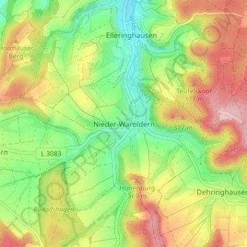
Click on the map to display elevation.
About this map
Name: Nieder-Waroldern topographic map, elevation, terrain.
Average elevation: 323 m
Minimum elevation: 239 m
Maximum elevation: 425 m

Click on the map to display elevation.
Name: Nieder-Waroldern topographic map, elevation, terrain.
Average elevation: 323 m
Minimum elevation: 239 m
Maximum elevation: 425 m