
Rancamanyar topographic map
Interactive map
Click on the map to display elevation.
About this map
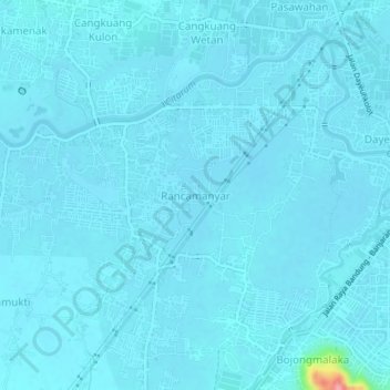
Name: Rancamanyar topographic map, elevation, terrain.
Location: Rancamanyar, West-Java, 40375, Indonesien (-7.01225 107.58333 -6.97225 107.62333)
Average elevation: 664 m
Minimum elevation: 658 m
Maximum elevation: 768 m