
คอคอดกระ topographic map
Interactive map
Click on the map to display elevation.
About this map
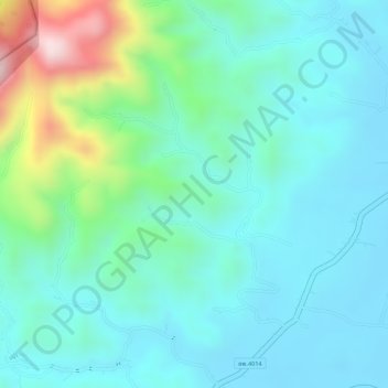
Name: คอคอดกระ topographic map, elevation, terrain.
Location: คอคอดกระ, Chumphon, Thaïlande (10.14949 98.90006 10.14959 98.90016)
Average elevation: 153 m
Minimum elevation: 66 m
Maximum elevation: 438 m
La partie la plus étroite, entre l'estuaire de la Kraburi (fleuve frontalier avec la Birmanie) et la baie de Sawi, juste au sud de la ville de Chumphon, a une largeur de 44 km. À cet endroit l'altitude peut dépasser 400 mètres. L'isthme est ainsi dénommé d'après le canton (amphoe en thaïlandais) de Kra Buri dans la province de Ranong. Il s'étend sur une longueur d'environ 110 km.
Other topographic maps
Click on a map to view its topography, its elevation and its terrain.