
Geyserville topographic map
Interactive map
Click on the map to display elevation.
About this map
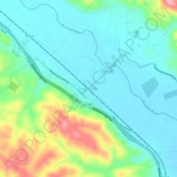
Name: Geyserville topographic map, elevation, terrain.
Location: Geyserville, Sonoma County, California, 95441, USA (38.68769 -122.92250 38.72769 -122.88250)
Average elevation: 103 m
Minimum elevation: 55 m
Maximum elevation: 239 m