
Itano topographic map
Click on the map to display elevation.
About this map
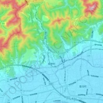
Name: Itano topographic map, elevation, terrain.
Location: Itano, Itano County, Tokushima Prefecture, Japan (34.11431 134.41293 34.19264 134.48675)
Average elevation: 106 m
Minimum elevation: -1 m
Maximum elevation: 530 m