
Dolany topographic map
Interactive map
Click on the map to display elevation.
About this map
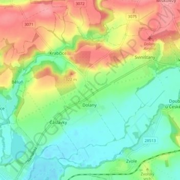
Name: Dolany topographic map, elevation, terrain.
Location: Dolany, okres Náchod, Královéhradecký kraj, Northeast, Czechia (50.36253 15.92598 50.40592 16.00445)
Average elevation: 289 m
Minimum elevation: 251 m
Maximum elevation: 344 m