
Falmouth topographic map
Interactive map
Click on the map to display elevation.
About this map
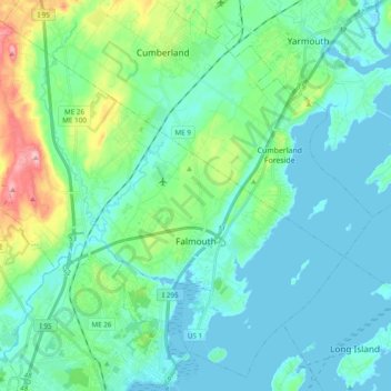
Name: Falmouth topographic map, elevation, terrain.
Location: Falmouth, Cumberland County, Maine, 04105, United States (43.68113 -70.36123 43.81031 -70.16904)
Average elevation: 29 m
Minimum elevation: -2 m
Maximum elevation: 149 m