
Thank you for supporting this site ❤️
Make a donation
Make a donation
Nespereira topographic map
Click on the map to display elevation.
Thank you for supporting this site ❤️
Make a donation
Make a donation
About this map
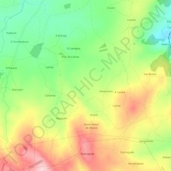
Name: Nespereira topographic map, elevation, terrain.
Location: Nespereira, Sarria, Lugo, Galiza, 27613, Espanha (42.70879 -7.50678 42.75072 -7.47180)
Average elevation: 624 m
Minimum elevation: 506 m
Maximum elevation: 759 m
Thank you for supporting this site ❤️
Make a donation
Make a donation
Other topographic maps
Click on a map to view its topography, its elevation and its terrain.