
Spandauer Vorstadt topographic map
Interactive map
Click on the map to display elevation.
About this map
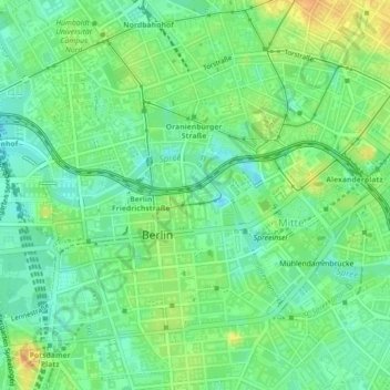
Name: Spandauer Vorstadt topographic map, elevation, terrain.
Location: Spandauer Vorstadt, Mitte, Berlim, 10117, Alemanha (52.51949 13.39296 52.52010 13.39355)
Average elevation: 41 m
Minimum elevation: 28 m
Maximum elevation: 59 m
Other topographic maps
Click on a map to view its topography, its elevation and its terrain.