
Ranchería de los Dolores topographic map
Interactive map
Click on the map to display elevation.
About this map
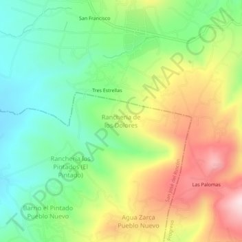
Name: Ranchería de los Dolores topographic map, elevation, terrain.
Average elevation: 2,849 m
Minimum elevation: 2,678 m
Maximum elevation: 3,102 m