
Austin topographic map
Interactive map
Click on the map to display elevation.
About this map
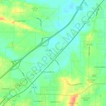
Name: Austin topographic map, elevation, terrain.
Location: Austin, Lonoke County, Arkansas, United States (34.97648 -92.01799 35.02550 -91.97169)
Average elevation: 83 m
Minimum elevation: 63 m
Maximum elevation: 119 m