
Make a donation
Kesbern topographic map
Click on the map to display elevation.
Make a donation
About this map
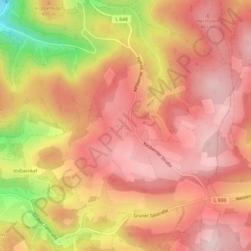
Name: Kesbern topographic map, elevation, terrain.
Average elevation: 402 m
Minimum elevation: 227 m
Maximum elevation: 482 m
Make a donation
Other topographic maps
Click on a map to view its topography, its elevation and its terrain.
Kalthof
Deutschland > Nordrhein-Westfalen > Märkischer Kreis > Iserlohn
Das Dorf entstand aus mehreren Gehöften. In einer Urkunde des 13. Jahrhunderts überlässt der Graf von Limburg seine Rechte an Kalthove dem Grafen von der Mark. Das Dorf wurde so zur märkischen Exklave zwischen limburgischen Gebiet und dem Herzogtum Westfalen. Nur einzelne Gehöfte zahlten keine Pacht an…
Average elevation: 170 m
Make a donation
58640
Deutschland > Nordrhein-Westfalen > Märkischer Kreis > Iserlohn > Kalthof
Average elevation: 168 m
Make a donation
Make a donation
Leckingsen
Deutschland > Nordrhein-Westfalen > Märkischer Kreis > Iserlohn > Kalthof
Average elevation: 193 m