
Schönberg topographic map
Interactive map
Click on the map to display elevation.
About this map
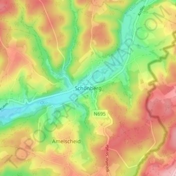
Name: Schönberg topographic map, elevation, terrain.
Location: Schönberg, Saint-Vith, Verviers, Liège, Wallonie, 4780, Belgique (50.26881 6.24425 50.30881 6.28425)
Average elevation: 493 m
Minimum elevation: 409 m
Maximum elevation: 577 m