
Bondélé topographic map
Interactive map
Click on the map to display elevation.
About this map
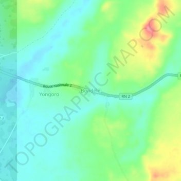
Name: Bondélé topographic map, elevation, terrain.
Location: Bondélé, Mbomou, Central African Republic (4.81143 22.99635 4.85143 23.03635)
Average elevation: 501 m
Minimum elevation: 475 m
Maximum elevation: 559 m