
Gori topographic map
Interactive map
Click on the map to display elevation.
About this map
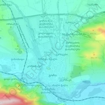
Name: Gori topographic map, elevation, terrain.
Location: Gori, გორის მუნიციპალიტეტი, Kartlie intérieure, 1400, Géorgie (41.96481 44.07074 42.02732 44.13188)
Average elevation: 652 m
Minimum elevation: 567 m
Maximum elevation: 1,142 m