
Tamaghza topographic map
Interactive map
Click on the map to display elevation.
About this map
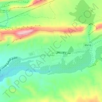
Name: Tamaghza topographic map, elevation, terrain.
Location: Tamaghza, Tameghza, Tozeur, Tunisie (34.38210 7.92268 34.39242 7.95274)
Average elevation: 323 m
Minimum elevation: 241 m
Maximum elevation: 463 m