
Puno topographic map
Interactive map
Click on the map to display elevation.
About this map
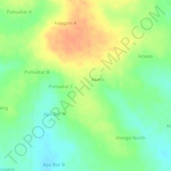
Name: Puno topographic map, elevation, terrain.
Location: Puno, Apac, Northern Region, Ouganda (1.91333 32.88000 1.95333 32.92000)
Average elevation: 1,059 m
Minimum elevation: 1,040 m
Maximum elevation: 1,081 m