
Vița topographic map
Interactive map
Click on the map to display elevation.
About this map
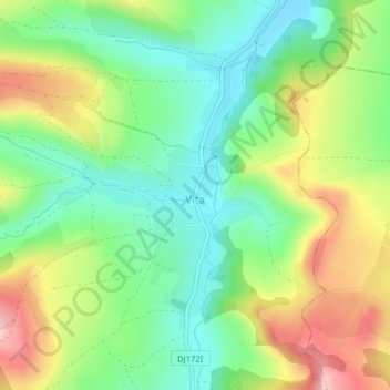
Name: Vița topographic map, elevation, terrain.
Location: Vița, Nușeni, Bistrița-Năsăud, 427207, Rumanía (47.03350 24.13753 47.04990 24.15615)
Average elevation: 389 m
Minimum elevation: 306 m
Maximum elevation: 519 m