
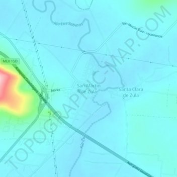
San Martín de Zula topographic map
Interactive map
Click on the map to display elevation.
About this map
Name: San Martín de Zula topographic map, elevation, terrain.
Location: San Martín de Zula, Ocotlán, Jalisco, 47780, México (20.38796 -102.74770 20.42796 -102.70770)
Average elevation: 1,543 m
Minimum elevation: 1,525 m
Maximum elevation: 1,707 m