
Refuge topographic map
Interactive map
Click on the map to display elevation.
About this map
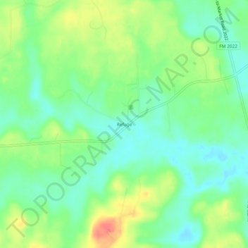
Name: Refuge topographic map, elevation, terrain.
Location: Refuge, Houston County, Texas, USA (31.48129 -95.42106 31.52129 -95.38106)
Average elevation: 111 m
Minimum elevation: 90 m
Maximum elevation: 144 m