
Thank you for supporting this site ❤️
Make a donation
Make a donation
Saint George topographic map
Click on the map to display elevation.
Thank you for supporting this site ❤️
Make a donation
Make a donation
About this map
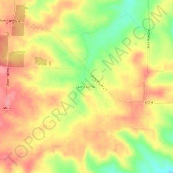
Name: Saint George topographic map, elevation, terrain.
Location: Saint George, Wright County, Missouri, United States (37.36088 -92.46211 37.40088 -92.42211)
Average elevation: 392 m
Minimum elevation: 335 m
Maximum elevation: 430 m
Thank you for supporting this site ❤️
Make a donation
Make a donation
Other topographic maps
Click on a map to view its topography, its elevation and its terrain.